


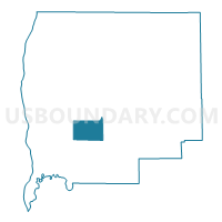
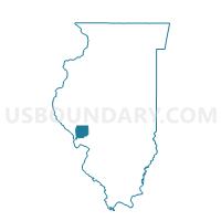
CARROLLTON I Voting District, Greene County, Illinois
About
Outline

Summary
| Unique Area Identifier | 571005 |
| Name | CARROLLTON I Voting District |
| County | Greene County |
| State | Illinois |
| Area (square miles) | 11.03 |
| Land Area (square miles) | 11.03 |
| Water Area (square miles) | 0.00 |
| % of Land Area | 100.00 |
| % of Water Area | 0.00 |
| Latitude of the Internal Point | 39.28218540 |
| Longtitude of the Internal Point | -90.44604100 |
Maps

Graphs
Select a template below for downloading or customizing gragh for CARROLLTON I Voting District, Greene County, Illinois


Neighbors
Neighoring Voting District (by Name) Neighboring Voting District on the Map
- BLUFFDALE Voting District, Greene County, IL
- CARROLLTON II Voting District, Greene County, IL
- CARROLLTON III Voting District, Greene County, IL
- KANE II Voting District, Greene County, IL
- WOODVILLE Voting District, Greene County, IL
Top 10 Neighboring County Subdivision (by Population) Neighboring County Subdivision on the Map
- Carrollton township, Greene County, IL (2,966)
- Kane township, Greene County, IL (995)
- Bluffdale township, Greene County, IL (556)
- Woodville township, Greene County, IL (239)